
Ground Penetrating Radar (GPR) Survey
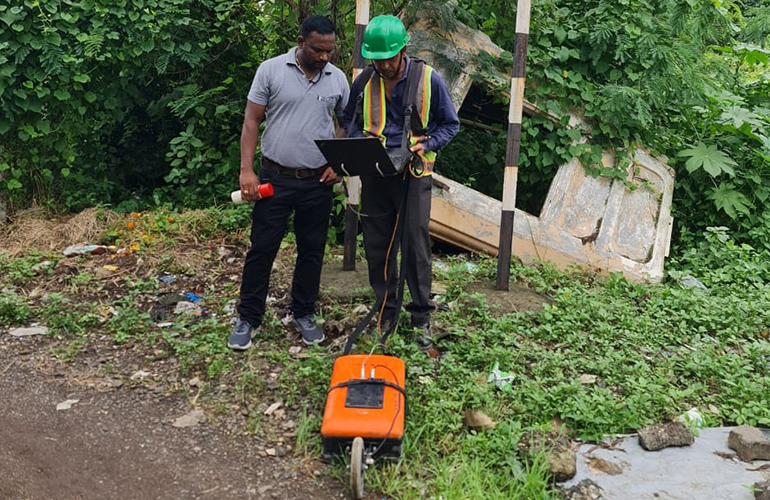
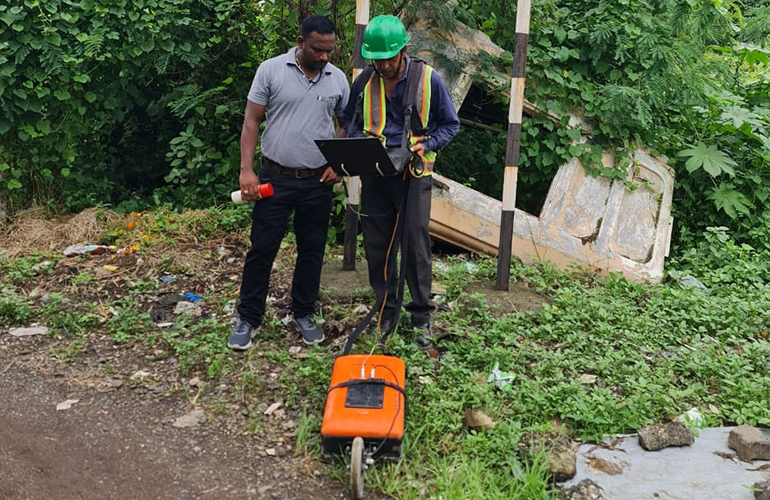
Ground Penetrating Radar (GPR) is a non-invasive technology used to explore subsurface features, providing valuable data for a wide range of applications. At Sloka Infra Solutions, we use GPR to detect buried objects, identify underground utilities, and assess soil conditions, all without disturbing the surface. Our GPR surveys are essential for construction planning, archaeological investigations, and environmental studies, offering a clear view of what lies beneath. The data collected by our GPR systems is processed to create detailed subsurface images, helping to identify potential hazards or areas of interest. This information is crucial for avoiding costly mistakes during excavation or construction. Our experienced team ensures that GPR surveys are conducted with the highest level of accuracy, delivering reliable results that you can trust. Whether you need to locate underground utilities, assess the integrity of structures, or conduct environmental assessments, our GPR surveys provide the critical insights you need to proceed with confidence.
Ground Penetrating Radar (GPR) Survey
Ground Penetrating Radar (GPR) is a non-invasive technology used to explore subsurface features, providing valuable data for a wide range of applications. At Sloka Infra Solutions, we use GPR to detect buried objects, identify underground utilities, and assess soil conditions, all without disturbing the surface. Our GPR surveys are essential for construction planning, archaeological investigations, and environmental studies, offering a clear view of what lies beneath. The data collected by our GPR systems is processed to create detailed subsurface images, helping to identify potential hazards or areas of interest. This information is crucial for avoiding costly mistakes during excavation or construction. Our experienced team ensures that GPR surveys are conducted with the highest level of accuracy, delivering reliable results that you can trust. Whether you need to locate underground utilities, assess the integrity of structures, or conduct environmental assessments, our GPR surveys provide the critical insights you need to proceed with confidence.
>Ground Penetrating Radar Survey
Advanced Ground Penetrating Radar (GPR) surveys for the non-destructive detection and mapping of underground utilities, buried structures, and subsurface anomalies, ensuring safe excavation and infrastructure planning.
Utilities Detection
Locate underground water, sewer, gas, electrical, and communication utilities with high accuracy.
Pipelines
Detect and map buried pipelines to support construction, maintenance, and asset management projects.
Voids
Identify underground voids, cavities, and sinkhole-prone areas to reduce construction and safety risks.
Foundations
Locate existing foundations and structural elements before excavation or redevelopment activities.
Buried Structures
Detect buried concrete structures, archaeological features, tanks, and other hidden underground objects.
